
Table of Contents
Last updated November 15, 2026
The Stratos can stream its GPS position live to a phone over Bluetooth. A phone app that supports the Stratos GPS stream can show your position on a map. ATAK plugins can be made to use this data.
Turning On the GPS Stream #
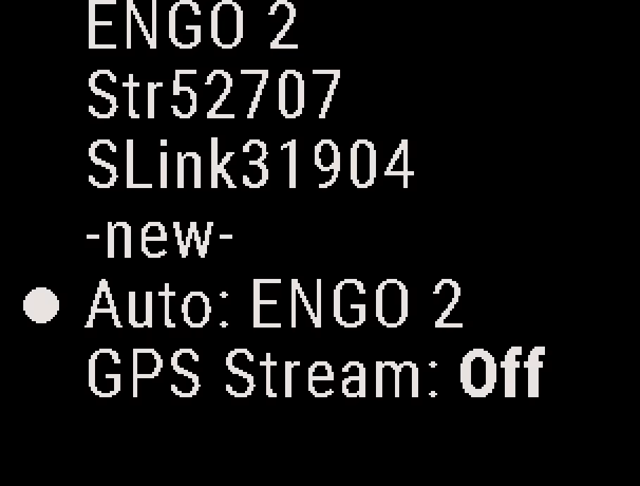
- From the Home screen, press the down button twice to open the Connect screen, and press the center button.
- Select GPS Stream to change it to On. The Stratos shows Wait a moment while it gets ready.
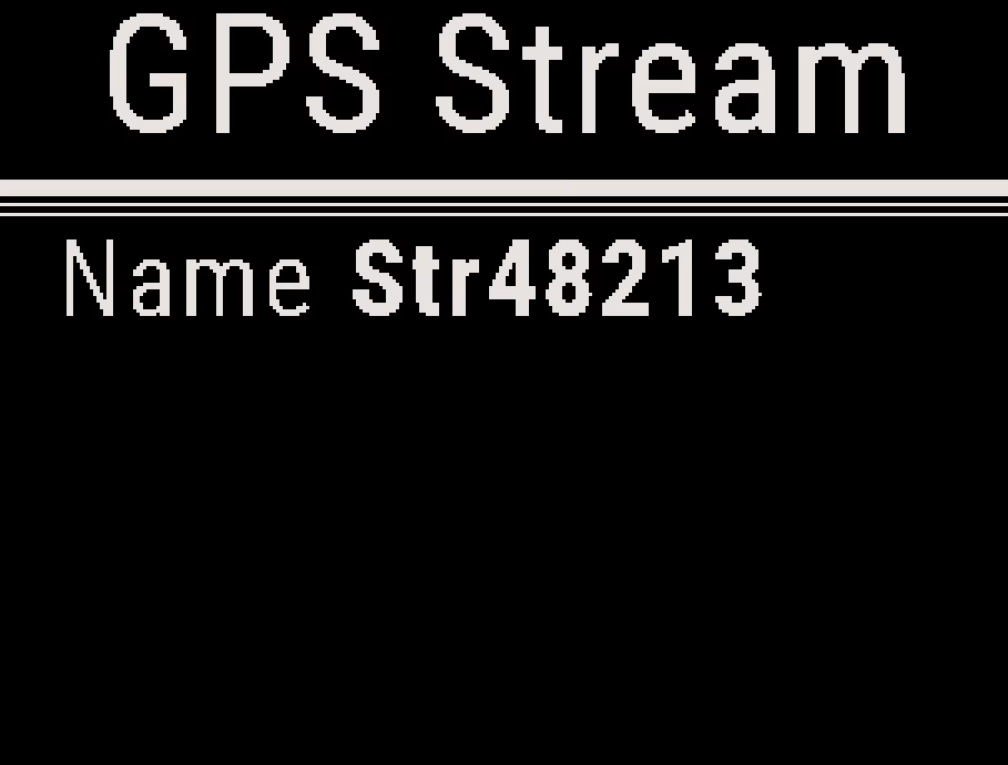
- Check that the Connect screen shows GPS Stream and the Bluetooth name of your Stratos.
Connecting Your Phone #
In the phone app, connect to your Stratos by its Bluetooth name, shown on the Connect screen: Str and five digits, for example Str48213. The steps depend on the app.
What Is Sent #
While the Stratos has a GPS fix, it sends about once a second your position, ground speed, altitude above sea level and the number of satellites in use. It does not send the direction of travel (heading).
While Streaming #
- The stream keeps running through the jump and after landing, until you turn it off.
- The GPS stays fully on the whole time, so the Stratos uses more battery.
- The GPS stream is the only wireless connection: the Stratos cannot also connect to HUD glasses, a Soundlink or a Stratos with G-Serve firmware. Turning the stream on ends a G-Serve link, and starting App Connect ends the stream. See Wireless Connectivity and Saved Devices.
- Turning the Stratos off or restarting it turns the stream off.
Turning Off the GPS Stream #
From the Connect screen, press the center button, and select GPS Stream to change it to Off.


