
The Insight and Stratos altimeters save GPS tracks during your skydives. Use the app to sync your GPS track data and view visual tracks on a map as well as key data indicators from your freefall and canopy flight. GPS tracks can be backed up to your cloud account (limits apply).
GPS Track Sync #
To view the GPS tracks on your phone you first need to sync from your Insight or Stratos. Connect the altimeter using App Connect then follow the instructions below.
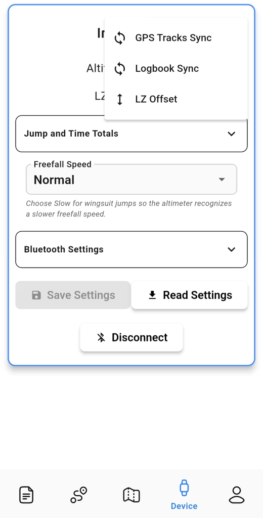
- From the Device tab on the app, connect to your altimeter. Use Add Device if you are connecting for the first time.
- Once the altimeter is connected, open the 3-bar menu on the top right of the screen and tap GPS Tracks Sync.
- A list of GPS tracks available on your altimeter will appear. Select one or multiple and start the transfer.
Viewing GPS Tracks #
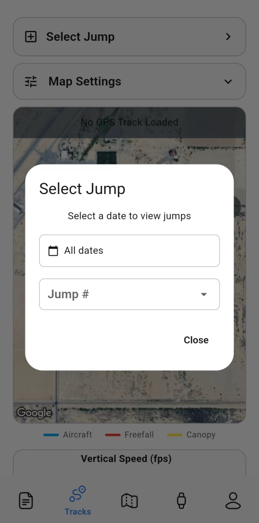
After a GPS track is synced to your phone, there are 2 ways to access the track. Select it directly on the Tracks tab, by setting a date filter and selecting the jump number (see the images below).
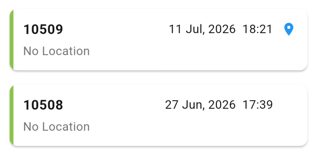
Alternatively go to the Logbook tab and tap any row that has the GPS icon. This icon indicates the jump has a saved GPS track available on your phone. From the jump details screen tap the View Track button (found at the bottom of the screen).
Saving GPS Data to Your Cloud Account #
GPS track data (as well as your logbook) can be saved to your cloud account. You must create an account (not using Guest Mode) and stay logged in when you sync your logbook and GPS tracks. Free accounts can sync 50,000 GPS track points (roughly 50 jumps worth of data). Paid premium accounts (expected by early 2027) can save more GPS track points.


