

Tactical
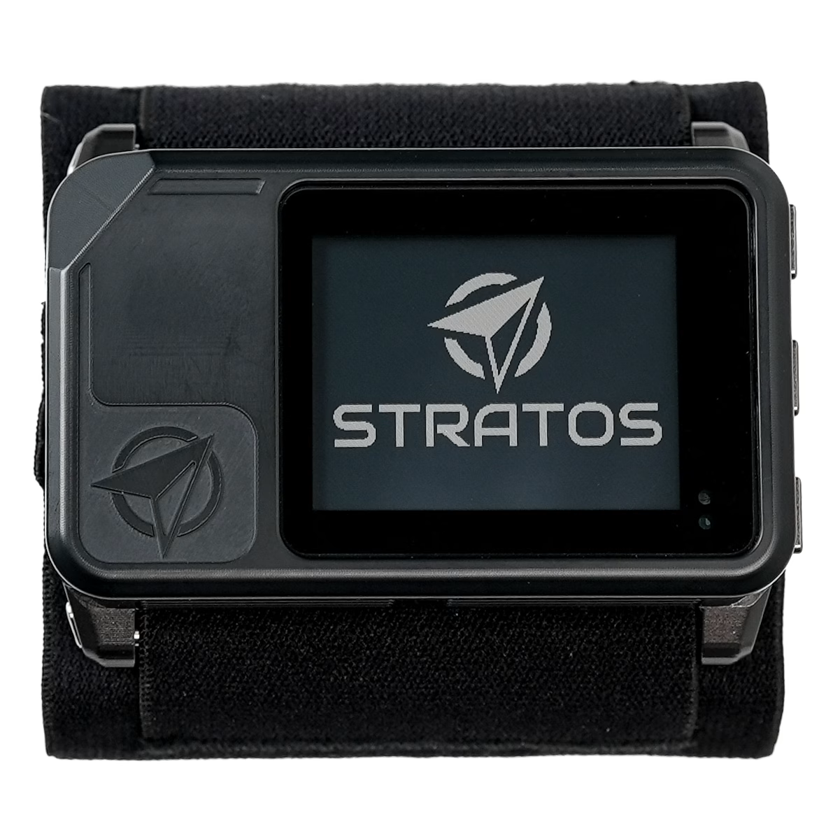
Stratos Tactical GPS Altimeter
SKU DV-STR1
Designed with features for high altitude, low temperature (HALT) skydives and tactical operations.
Sold by quote. Email stratos@deepandsteep.io for a quote, or buy through one of our authorized dealers.
Stratos
Tactical GPS Altimeter
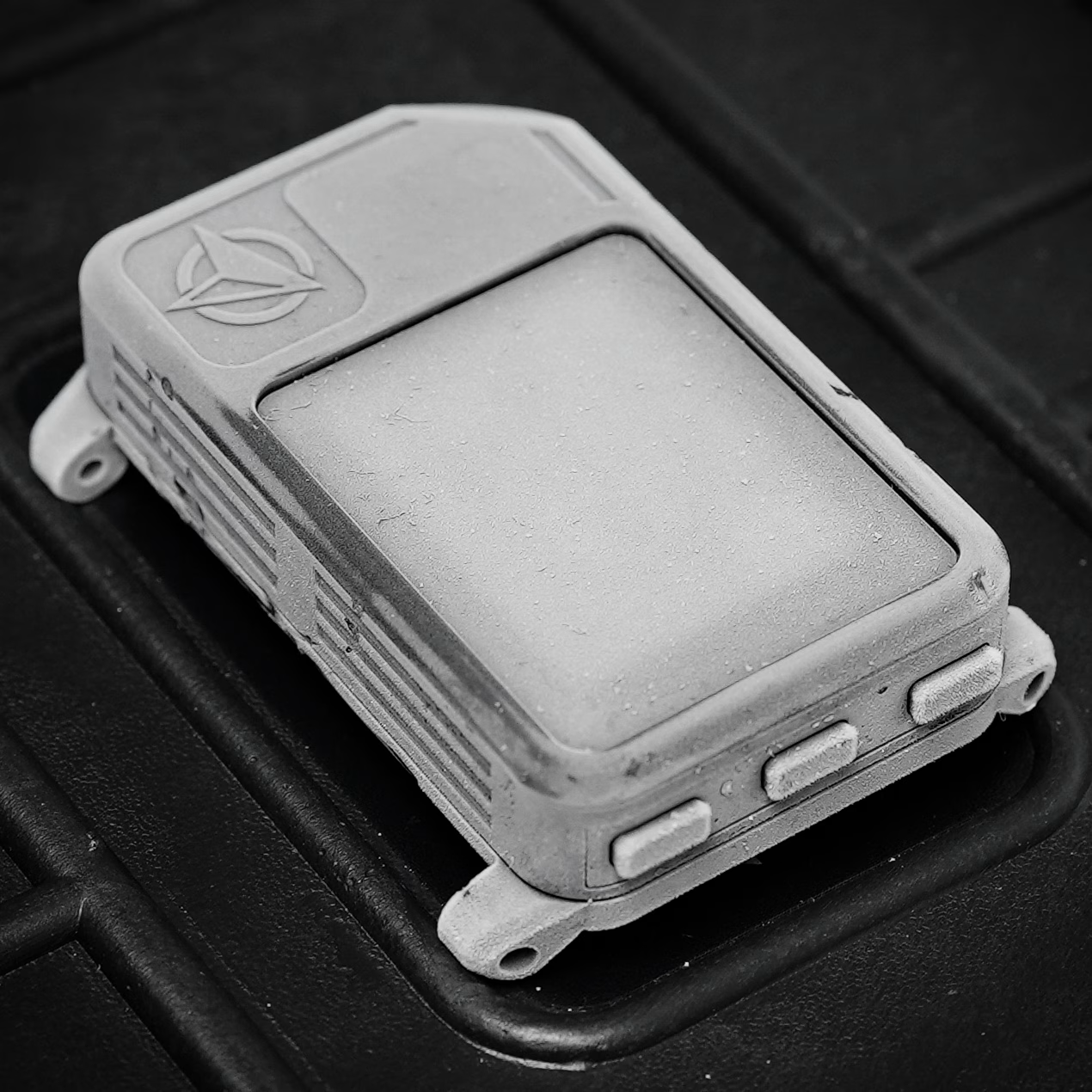
The Stratos is a pressure altimeter with an integrated GPS for spotting, canopy navigation and GPS track recording. It is designed and tested to operate in high altitude, low temperature (HALT) environments, and connects wirelessly to HUD glasses, the Soundlink audible altimeter and the Deep and Steep app.
- Pressure altitude to 50,000 ft MSL
- HARP and DIP navigation
- MGRS or lat/lon coordinates
- Drop tested
- Operates down to −40 °C (−40 °F)
- Water resistant, 1 m for 30 minutes
Jumpmaster Tools
G-Serve (GPS Server)
Remote LZ Operations
Wireless
Power
- Engo HUD glasses and the Soundlink audible altimeter are sold separately.
- Battery life depends on the functions in use. The display light, GPS recording and wireless connections drain the battery more quickly.
| Maximum altitude | 15,244 m (50,000 feet above MSL, based on pressure) |
|---|---|
| Operating temperature | −40 °C to 55 °C (−40 °F to 131 °F) |
| GPS navigation | Data related to DIP and HARP coordinates. |
| Coordinates | MGRS or lat/lon (decimal degrees) |
| Battery | About 10 days of skydiving from a full charge |
| Wireless | HUD glasses, Soundlink audible altimeter and the Deep and Steep app; off by default |
| Model | STR (SKU DV-STR1) |
|---|---|
| Dimensions | 75 mm × 45 mm × 17 mm (2.9″ × 1.8″ × 0.7″) |
| Weight | 86 g (3 oz) |
| Controls | Three side buttons |
| Origin | Designed, assembled and tested in Florida, USA |
| Size | 36 mm × 28 mm (1.4″ × 1.1″) |
|---|---|
| Viewing angle | 120° horizontal, 120° vertical |
| Display light | Auto (default) or on |
| GPS markers | Up to 100, named, sorted alphabetically |
|---|---|
| Marker entry | Coordinates by hand, or Mark Here at your current position |
| Active HARP | Distance to HARP in the aircraft; distance to DIP when no HARP is set |
| Active DIP | DIP glide, distance to DIP and turn to DIP |
| Altitude offset | DIP elevation relative to takeoff, in feet or meters; clears after landing within 150 ft (50 m) |
| Pressure offset (QFE) | Landing zone pressure in millibars |
| Battery life | About 10 days of skydiving from a full charge |
|---|---|
| Charge port | USB-C |
| Charge voltage | 5 V DC |
| Full charge | About 1.5 hours from 0% to 100% |
| Quick charge | 20 minutes is enough for a day of jumping |
| Charging temperature | 0 °C to 55 °C (32 °F to 131 °F); lithium-ion batteries will not charge below 0 °C |
| USB Power Delivery | Supported |
| Automatic shutdown | 14 hours after power-on, never during a skydive |
| Operating temperature | −40 °C to 55 °C (−40 °F to 131 °F); runs for 30 minutes below −20 °C (−4 °F) |
|---|---|
| Storage temperature | 0 °C to 35 °C (32 °F to 95 °F), stored at 40% to 60% charge |
| Maximum altitude | 15,244 m (50,000 feet above MSL, based on pressure) |
| Water resistance | 1 meter for 30 minutes |
| HUD glasses | Engo HUD glasses, sold separately |
|---|---|
| Soundlink | Soundlink Audible Altimeter, sold separately |
| Phone app | Deep and Steep app, for GPS tracks and the logbook |
| USB | USB-C; appears as a USB drive for firmware updates |
Manuals and guides
- Stratos user manual
Stratos online manual with keyword search.
- Stratos overview
Dropzone operation, buttons, battery, care and specifications.
- GPS markers, DIP and HARP
Adding markers and setting the active DIP and HARP.
- LZ offsets: altitude and pressure (QFE)
Setting up the altimeter for a remote landing zone.
- Wireless connectivity and saved devices
Pairing HUD glasses, the Soundlink and the app.
Downloads
- Firmware update
The latest firmware file, the steps to install it and the change log.
- Deep and Steep app
GPS tracks and the logbook on your phone.
Policies and Support
- Warranty
What is covered and for how long.
- Return policy
How returns work.
- Support Center
Search the Support Center for features and troubleshooting. Contact support if you can’t find the answer.
Regulatory
- Regulatory information
Certifications and compliance statements.
- EU Declaration of Conformity (PDF)
Regulatory declaration for the Stratos.

Stratos Authorized Dealers
In addition to direct-to-customer sales, we work with regional Stratos dealers. If you require a local POC for your purchases, contact one of the authorized dealers below.



International



Stratos Tactical GPS Altimeter
Request a quote