
GPS skydiving altimeter
Insight GPS Altimeter
SKU DV-INS1
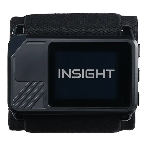
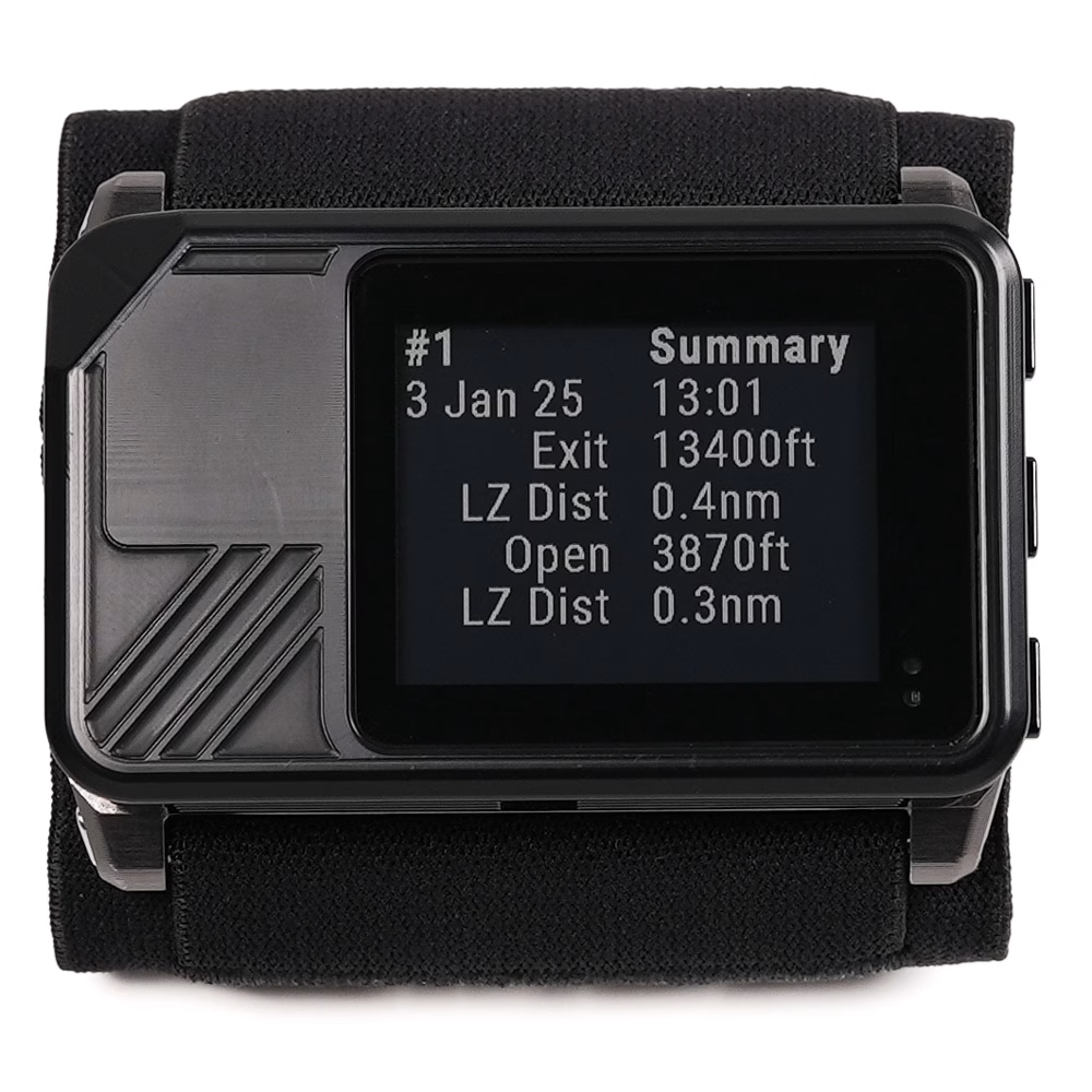
Altimeter, GPS, data recorder, and logbook in a single device. Advanced features for pros and data geeks. Out-of-the-box simple for newer jumpers. Insight is the altimeter that grows with you.


Insight
NextGen Skydiving Altimeter
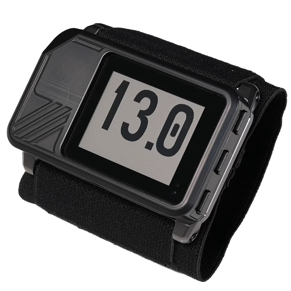
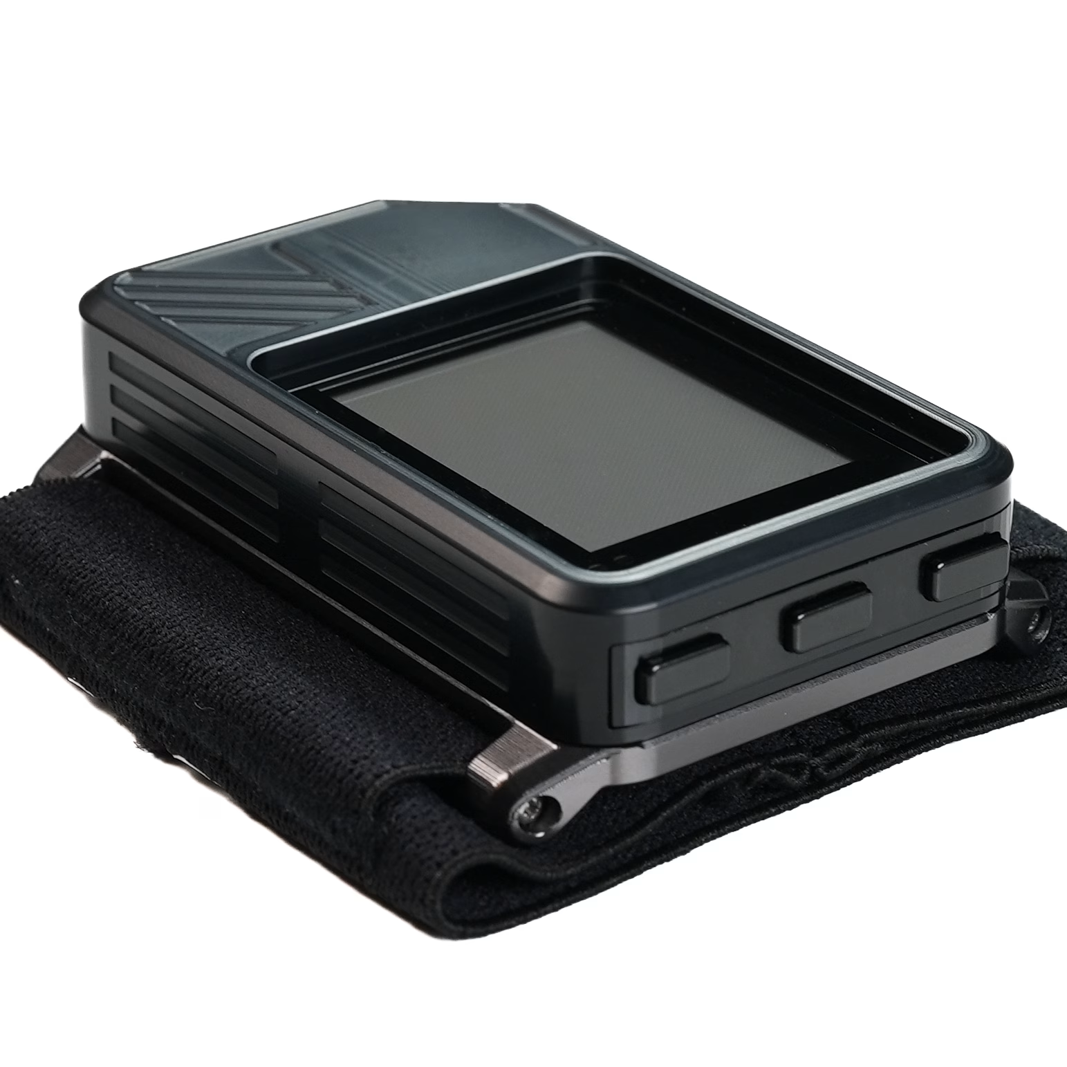
The Insight is a digital skydiving altimeter with an integrated GPS, a data recorder and a logbook you view in the Deep and Steep app. It gives you the information necessary to be a safer, more informed jumper, without ever becoming a distraction.
- Integrated GPS with automatic track recording
- About 10 days of jumping per charge (100+ skydives)
- Water resistant, 1 m for 30 minutes
- Daylight-readable Gorilla Glass display
- Wireless to HUD glasses, Soundlink and the app
- Full logbook in the Deep and Steep app
Be Informed
Mark Your LZ
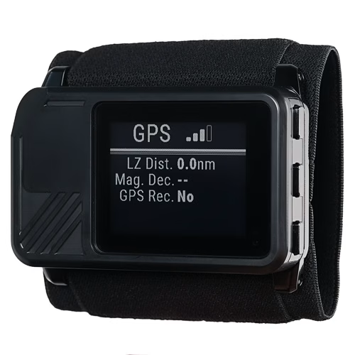
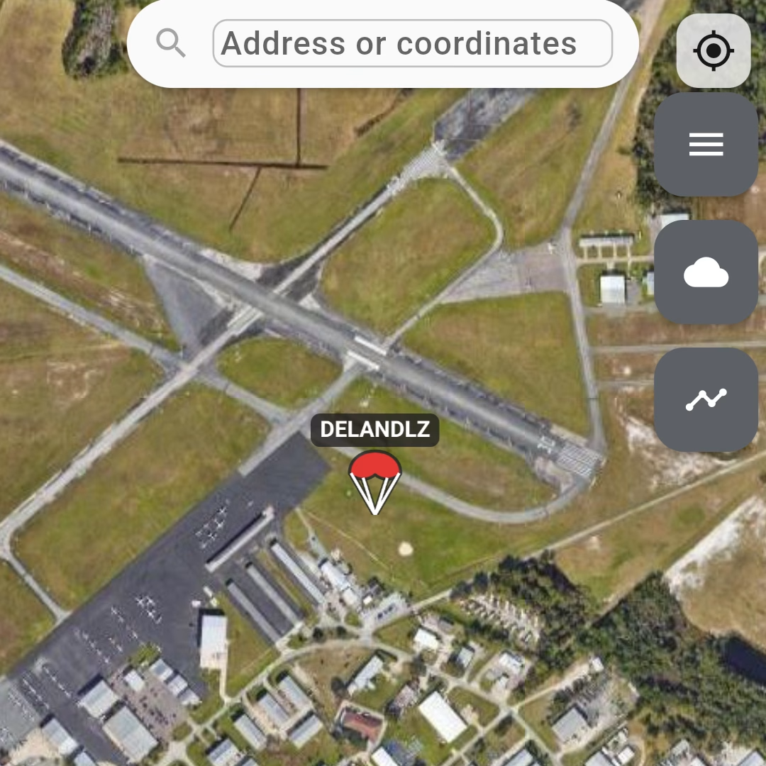
Use the app to create a marker for your LZ and send it to the Insight. Or mark the LZ directly on your Insight. The Insight will use this information to assist you on your skydive.
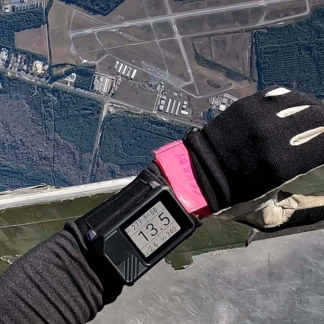
Spotting from the aircraft
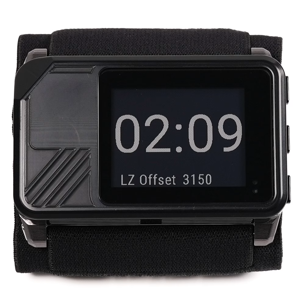
On the climb the Insight switches itself to the aircraft screen: altitude in the centre, with ground track, groundspeed, distance to your saved LZ and vertical speed around it.
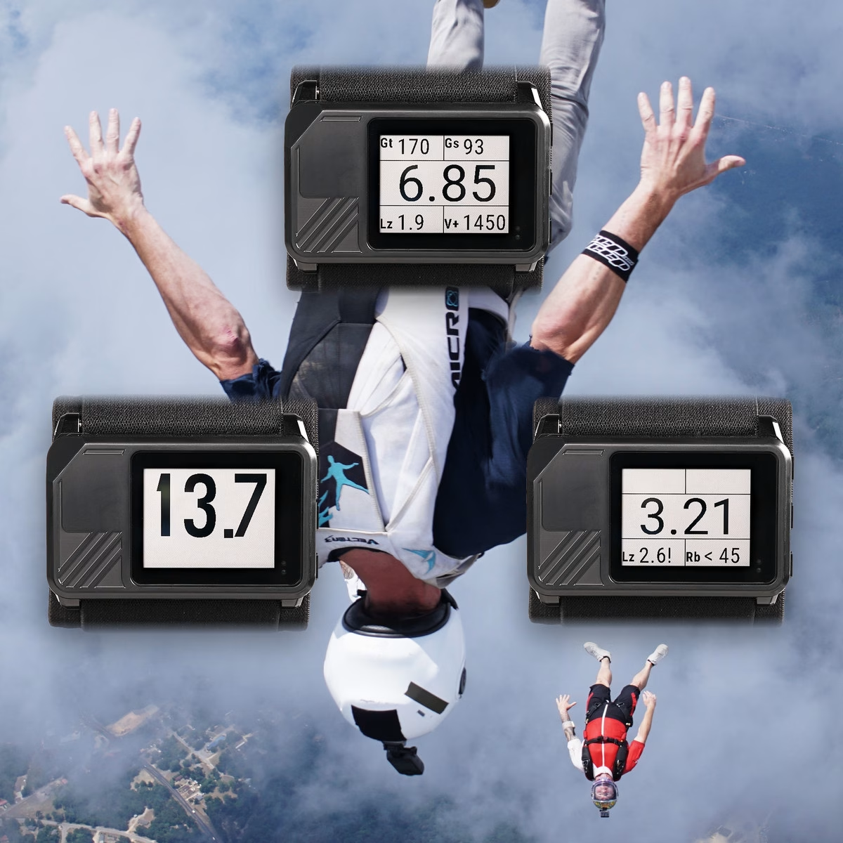
Configure Your Display
Keep it simple with large altitude, front and center (the default). Or get advanced and configure the display to show any of 7 other informational fields. Extra information can be shown during freefall, canopy flight, or both.

GPS track overview
After the jump send your GPS track to the app. Review your metrics for freefall and canopy flight. The app uses Insight data to provide powerful insights to help you learn and progress faster.

3D Flight Path
View your flight as a 3D path to get a better feel for your movements through the sky.

Weather and winds aloft
Be informed before you even start jumping. Use the app’s Flight Planning features to check winds aloft, and push GPS markers to your Insight. Take your Insight to the sky, land, download, repeat.
In the air
Wireless
Power
Logbook and data
Built for the jump
- Engo HUD glasses and the Soundlink audible altimeter are sold separately.
- Battery life depends on the functions in use. The display light, GPS recording and wireless connections drain the battery more quickly.
- With polarized lenses there is one angle at which the display appears entirely black.
| Battery life | About 10 days of skydiving per charge (100+ skydives) |
|---|---|
| Water resistance | Depth of 1 meter for 30 minutes |
| Display | Easy to read, ultra-wide viewing angle, automatic light for night jumps |
| Bluetooth | Wireless connectivity to peripheral devices and apps |
| Integrated GPS | Automated track recording, GPS feedback during skydives |
| Model | INS (SKU DV-INS1) |
|---|---|
| Dimensions | 75 mm × 45 mm × 17 mm (2.9″ × 1.8″ × 0.7″) |
| Weight | 86 g (3 oz) |
| Controls | Three side buttons |
| Size | 36 mm × 28 mm (1.4″ × 1.1″) |
|---|---|
| Viewing angle | 120° horizontal, 120° vertical |
| Glass | Gorilla Glass, scratch resistant |
| Display light | Automatic in dim light while descending; 15 seconds on any button press; can be set permanently on |
| Polarized sunglasses | Usable with polarized sunglasses, only a small angle is unreadable |
| Charge port | USB-C |
|---|---|
| Charge voltage | 5 V DC |
| Full charge | About 1.5 hours from 0% to 100% |
| Quick charge | 20 minutes is enough for a day of jumping |
| Charging temperature | 0 °C to 55 °C (32 °F to 131 °F) |
| USB Power Delivery | Supported |
| Automatic shutdown | Power save shutdown after 14hrs (only when not on a skydive) |
| Operating temperature | −20 °C to 55 °C (−4 °F to 131 °F) |
|---|---|
| Storage temperature | 0 °C to 35 °C (32 °F to 95 °F), stored at 40% to 60% charge |
| Maximum altitude | 9,146 m (30,000 feet above MSL, based on pressure) |
| Water resistance | Depth of 1 meter for 30 minutes |
| GPS track recording | Automatic on every skydive; manual recording for other activities |
|---|---|
| GPS feedback | Heading over the ground, groundspeed, glide ratio, distance and direction to the marked LZ |
| On-screen logbook | Latest 20 skydives |
| Full logbook | Every skydive, viewed in the Deep and Steep app |
| GPS tracks | Transferred to and viewed in the Deep and Steep app |
| HUD glasses | Insight HUD Glasses (Engo 2), sold separately |
|---|---|
| Audible | Soundlink Audible Altimeter, sold separately |
| Phone app | Deep and Steep app, where you view your full logbook and GPS tracks |
Manuals and guides
- Insight user manual
Insight online manual with keyword search.
- GPS Signal Best Practices
How to get the best GPS signal on the Insight.
- GPS markers and active LZ
Marking landing zones and getting distance and direction to them.
- Heads-up display (HUD) connect
Pairing Engo glasses and choosing what they show.
- Insight firmware update
How to load the latest firmware over USB-C.
Downloads
- Sample GPS track file (CSV)
See what the Insight records on a skydive before you buy.
- Deep and Steep app
View your full logbook and GPS tracks from the Insight on your phone.
Policies and Support
- Warranty
What is covered and for how long.
- Return policy
How returns work.
- Knowledge base
Search the knowledge base for features and troubleshooting. Contact support if you can’t find the answer.
Regulatory
- Regulatory information
Certifications and compliance statements.
- EU Declaration of Conformity (PDF)
Regulatory declaration for the Insight.
Insight GPS Altimeter $520.00
Buy the Insight